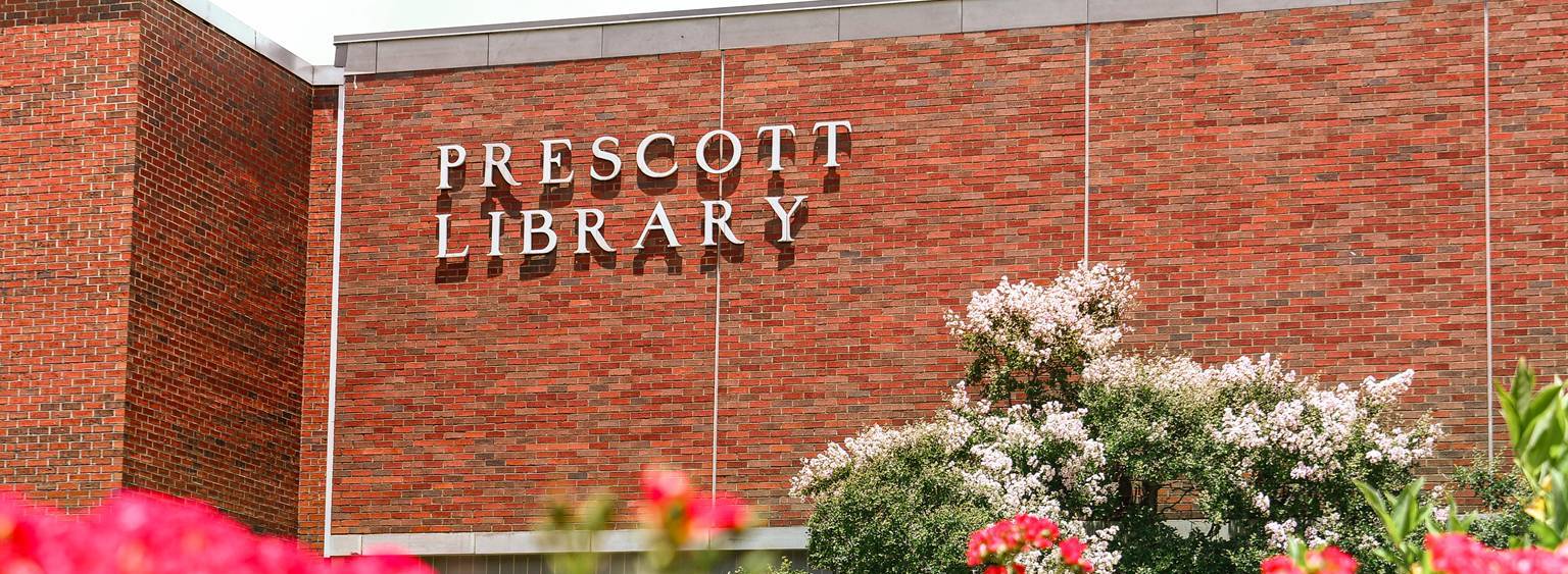
LIBRARY
Map Resources
The map collection consists of more than 38,000 maps, the majority of the maps are located on the 2nd (Main) floor of the library. As a member of the Federal Depository Library Program, the library has received thousands of topographic maps from the U.S. Geological Survey, special datasets such as Landview, and geologic, nautical, and aeronautical maps. The United States topographical maps are filed by state and then by quadrangle. In addition, the Reference Department holds an extensive collection of atlases, CIA political maps, and the Louisiana soil surveys.
Map Websites
All of the sites below are Unrestricted access sites.
AIRNow
Local Air Quality Conditions and Forecasts
Atlas: The Louisiana Statewide GIS
Geospatial Data for the State of Louisiana
Background Notes
U.S. Department of State – Facts about the land, people, history, government, political conditions, economy, and foreign relations of independent states.
GeoFRED/Geographic Federal Reserve Economic Data
Economic Research from the Federal Reserve Bank of St. Louis.
Lincoln Parish GIS
Maps provided by the Lincoln Parish GIS Office. Retrieve and view spatial data about Lincoln Parish including school districts, boundaries, and soil types, etc.
Map Projections
Various projections including: Azimuthals, Conics, Cylndricals, Polyconics, Pseudoconics, and Pseudocylindricals
MapQuest Maps
Maps and driving directions.
National Atlas of the United States
Contains interactive and static maps using data from over 20 government agencies that “capture and depict the patterns, conditions, and trends of American life.”
National Weather Service
National Oceanic and Atmospheric Administration’s National Weather Service
National Wetlands Inventory
U.S. Fish and Wildlife Service – Series of topical maps to show wetlands and deepwater habitats.
Soil Surveys by State | NRCS Soils
Many soil surveys are available online. At this time, only a few Louisiana parishes are on the web. Prescott Library has a full collection of soil surveys from every state.
TIGER/Line – U.S. Census
Topologically Integrated Geographic Encoding and Referencing System: digital database of geographic features covering the entire U.S.
Topo Maps – MyTopo/Maptech MapServer
Switch between topographic, aeronautical, nautical, and the air photo of available areas.
U.S. Board on Geographic Names (BGN)
The U.S. Board on Geographic Names maintains uniform geographic name usage throughout the Federal Government.
U.S. Gazetteer Files: 1990, 2000, 2010, 2012, and 2013
Powerful geographic and demographic tool that allows you to search for 1990, 2000, 2010, 2012, and 2013 Census data by simply typing in a zip code or city and state.
U.S. Weather Maps
Satellite, radar, historic, and travel weather maps.
United Nations Cartographic Section Web Site
Country profile maps, thematic maps, and DFS mission maps.
World City Maps – Perry-Castaneda Map Collection – UT Library Online
From the University of Texas Map Collection.
World Factbook
Central Intelligence Agency: Provides information on the history, people, government, economy, geography, communications, transportation, military, and transnational issues for each country of the world.